
 Twitter
 del.icio.us
 Facebook
 Digg
Digg Technorati
 Yahoo!
 Stumbleupon
 Google
 Blogmarks
 Ask
Ask Slashdot
-
the Samoa islands (by Maxime and Raphael)
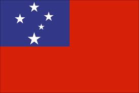
 The country we chose is Samoa.
It became a member of the Commonwealth of Nations in 1970.
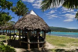
The Samoa islands are situated, approximately halfway between the Hawaiian Islands and New Zealand, in the South of Kiribati (islands of the Line). The Four inhabited islands of Samoa are called Savaii, Upolu, Apo lima and Manobo.
The area is 2 944km2
Apia is the capital of the Samoa islands, the city is located on the central north coast of Upolu, Samoa's second largest island. There are 194 320 inhabitants. Samoa is divided into eleven regions: A'ana, Aiga-i-le-Tai, Atua, Fa'asaleleaga, Gaga'emauga, Gagaifomauga, Palauli, Satupa'itea, Tuamasaga, Va'a-o-Fonoti and Vaisigano.
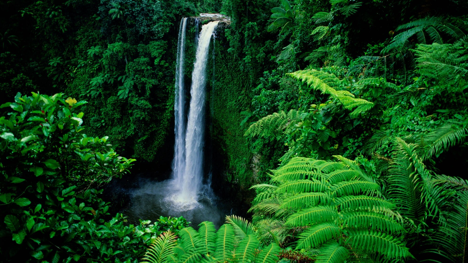
The climate is tropical with a rainy season beginning in November and ending in April. The fauna of Samoa is restricted enough; there are few animals there: snakes, lizards and birds. The flora of Samoa is very rich on the other hand.
They speak Samoan and English. Samoan is spoken by 86 % of the population.
There is the Apia Stevenson museum Robert and Stevenson’s house to visit. There are two waterfalls: Papaseea Sliding Rock and Papapaitai Falls.
They practice rugby, Kirikiti (cricket), football and judo.
Their national anthem is The Banner of Freedom.
We chose this country because it’s a well-known country. We know it also for their practice of rugby. The team’s name is the Manu Samoa and they perform Haka which is a ritual Maori dance.


You can listen to Samoa national anthem here :


-
Commentaires
le blog du dispositif ExEL du collège Jules Ferry - Vichy


I love your photos :)